Met Office issues yellow wind warning as gales to strike west coast

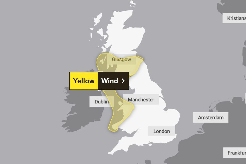
The Met Office has issued a yellow weather alert for much of the west coast of the UK as it warns of “gales developing” in exposed areas.
The warning, which will come into effect from 3pm today (Tuesday) until 8am on Wednesday, covers a large region of the west coast of Wales, Northern Ireland and southwest Scotland.
“Southerly winds will strengthen through Tuesday afternoon, evening and night, with gales developing along some exposed coasts,” the Met Office said.
“Peak gusts of 40-50 mph are likely fairly widely inland, with perhaps 50-60 mph in more exposed places, including along some coasts.
“This may lead to some disruption to ferry crossings, with tricky travelling conditions possible on higher level and west-east routes.
“Winds will start to ease in Northern Ireland during the early hours of Wednesday, and then in many other areas around or after dawn.”

Regions and local authorities affected will include Central, Tayside & Fife, Northern Ireland, SW Scotland, Lothian Borders, Strathclyde and Wales.
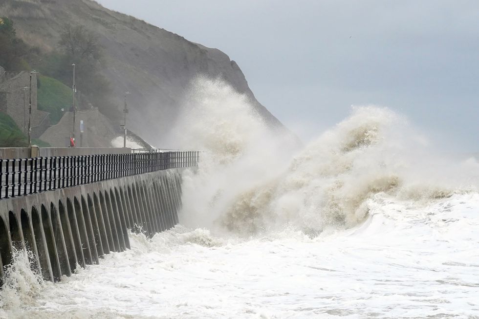
The national weather service advises that people on the coast should be “aware of large waves”.
“Even from the shore large breaking waves can sweep you off your feet and out to sea.
“Take care if walking near cliffs; know your route and keep dogs on a lead.
“In an emergency, call 999 and ask for the Coastguard.”
LATEST DEVELOPMENTS:
- Rachel Reeves blamed by British bosses for utterly ruining UK economy after just months in charge
- Labour plan to slash net migration risks FAILURE as UK faces 9 million-strong ‘population explosion’
- ‘Jack the Ripper’ identity seemingly REVEALED in 14-line letter unexpectedly found hidden in book

Looking at the weather ahead in December, a summer weather system typically associated with July heatwaves is set to bring unusually warm temperatures to Britain this Christmas.
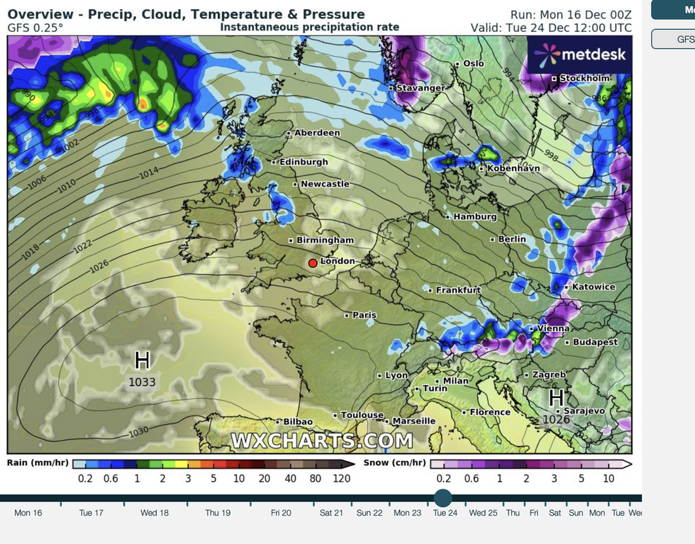
An Azores High, a vast region of high pressure that normally drives summer heat, has positioned itself off the southwest coast of the UK.
This tropical weather system’s unusual December appearance is expected to create chaos in the festive weather patterns across the country.

Meteorologists predict a volatile mix of storms and unseasonably warm temperatures in the coming days.
Jim Dale, meteorologist for British Weather Services, explains the impact: “The Azores High is sitting down to the southwest of the country and where it ends up is going to make the difference between a mild Christmas or a cold Christmas.”
The demarcation point between mild and cold conditions is expected to be around Scotland and northern England.
“As we get closer to Christmas, as that high pushes upwards, we are looking at milder temperatures which, depending on how far it goes, could reach as far as Scotland,” Dale added.
Those hoping for a traditional white Christmas across Britain are likely to be disappointed this year.
“For us, a White Christmas is very unlikely, although there might be a bit of snow around further north during the next week,” said Dale.

