Met Office gives verdict on reports UK to be hit by -16C freeze and snow
The Met Office has given its verdict on reports of a potential -16C freeze and widespread snowfall across Britain.
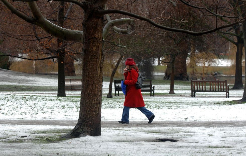
The national forecaster acknowledged the possibility of snow from this weekend, initially affecting high ground in northern regions as Arctic air moves southward.
While various weather maps have suggested significant snowfall across the UK between November 20-23, the Met Office maintains a more moderate outlook, confirming that while wintry conditions are approaching, the chance of disruptive snow in populated areas remains low.
The agency’s latest long-range forecast indicates frequent wintry showers are expected, particularly in northern areas and along coastal regions exposed to strong northwesterly winds.

Met Office Deputy Chief Meteorologist Mark Sidaway said: “The high pressure that has been responsible for the mainly dry weather through much of this week will retrogress into the Atlantic as we get towards the weekend.”
“In addition to increased rainfall, which could be heavy at times on Sunday, temperatures will also drop, especially for those in Scotland, as a northerly airflow develops, bringing colder Arctic air to some northern areas,” he explained.
Sidaway added: “This shift does introduce the possibility of snow, initially over high ground in the north from Sunday, with gusty winds also a potential hazard.”
However, he also warned that warnings for winter hazards are possible later in the weekend, urging people to stay up to date with the latest forecast.
LATEST DEVELOPMENTS:
- UK weather: Britain braces for bitter Polar blast as Arctic chill looms
- Essex Police come after Allison Pearson AGAIN as they take swipe at journalist’s criticism of ‘Kafkaesque’ probe
- Reform UK takes aim at ‘disgrace’ Essex Police ‘whining’ over ‘false reporting’ on Allison Pearson

A spokesman from the Met Office told GB News: “At present, there is a chance parts of the country could see wintry hazards next week (snow, sleet, some wind), but not with anything like the certainty some of the headlines say.
“While temperatures are expected to fall below average for the time of year next week daytime temperatures are expected to remain above freezing for most with some overnight temperatures below freezing, but nowhere near as low as -16C.
“Looking further ahead towards November 23 there are some indications that temperatures might recover to above average at times, especially in central and southern areas.
“However, this is a long way off and there is still a lot of uncertainty in the forecast at this timeframe.”
Temperatures are expected to drop significantly across the UK, with some areas potentially seeing lows of -1C by November 20, according to Met Office maps.
The Met Office’s long-range forecast for November 18-27 predicts snow is likely to fall to low levels, particularly in northern regions.
Many inland areas may experience dry conditions with lengthy sunny spells, especially in locations sheltered from the northwesterly flow.
The agency warns of “cold everywhere with overnight frost,” noting that strong winds will result in significant wind chill. There is an indication that conditions may become less cold later in the period as a more westerly flow becomes established.

