
UK weather: Britain set to suffer ‘anticyclonic gloom’ amid remains of tropical hurricane
The remains of a tropical hurricane will rattle the weekend before an ‘anticyclonic gloom’ descends for Halloween.
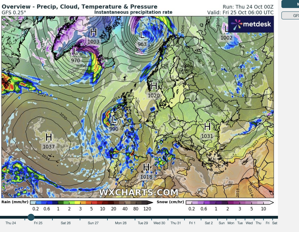
Ex-hurricane Oscar will hitch a ride on the jet stream to bring wind and rain to western parts of Britain on Sunday.
Then as temperatures build, high pressure will usher a murky and misty run up to the spooky season.
Met Office meteorologist Alex Deakin said: “High pressure will sit somewhere close to the UK, and that would bring a lot of dry weather, but it will not necessarily be sunny, it is likely to be quite dank and murky at times.
“There are no strong signals that Halloween will be particularly cold, and for most of next week temperatures will be around average, and it will often be quite cloudy, and there could be stubborn mist and fog.
“Most of the models have the UK covered in warmer air, but a couple have cooler air trying to push into the UK, but there is less than a five per cent chance of that happening.
High pressure, the driver of sunny blue summer skies, often brings cloud and fog at this time of year.
Because high pressure supports light winds and clear skies, fog is stubborn to clear leading to daytime mist and grey skies – a so-called ‘anticyclonic gloom’.
LATEST DEVELOPMENTS:
Tory sparks fury after slamming Labour for ‘not consulting trans people’ on public toiletsReeves accused of declaring ‘CLASS WAR’ – Labour blasted by ex-Chancellor for ideological attackAirport imposes three-minute LIMIT on farewell hugs
Low pressure, however, will be in charge this weekend, with western and northern regions braced for wind and rain.
Behind the scenes, the remains of Hurricane Oscar, which battered the Caribbean this week, will add some oomph.
Deakin said: “On Sunday and Monday, the jet is coming in from the west and it is being fed by a couple of different arms and the remnants of Hurricane Oscar, which although no longer a hurricane, does have tropical air in it.
“As we go into the weekend, a bit of that warmer air gets pushed further ahead and generates its own area of low pressure, and how it interacts with the jet stream will determine its track.
“If you have got plans on Saturday you should keep up to date with the forecasts as there is more uncertainty than usual.
“Friday and Saturday will see bands of rain, particularly in western areas and the possibility of some gusty winds down to the southwest.”
Jim Dale, meteorologist for British Weather Services and social commentator, said: “Low pressure will move in ahead of the weekend, and that will bring a return to unsettled conditions.
“There may be a warning issued, but it does not look as unsettled as last weekend.
“Across the south and the Midlands are likely to see the strongest of any winds.”
Largely settled weather could hold out into next month, as high pressure beds down over the UK.
This could cause temperatures to drop later after next week, with northern regions first in line for the chill.
James Madden, forecaster for Exacta Weather, said: “Dominant high pressure will keep things largely settled over the coming weeks and into November.
“It will still turn colder for many, particularly during the evenings, and a north-south divide will establish itself over the coming days.”