‘Wintry showers could be on the way!’ Weather journalist Nathan Rao says UK COULD see a White New Year
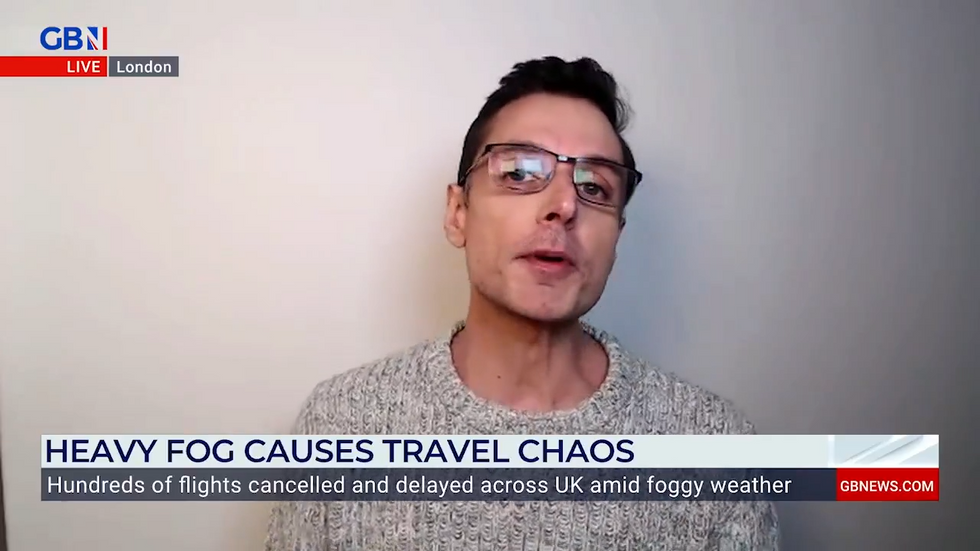
Britain could see “wintry showers” as we head into 2025 with “unsettled conditions” on the horizon, weather expert Nathan Rao has said.
Speaking to GB News he explained: “We could see wintry showers as we go into the New Year.
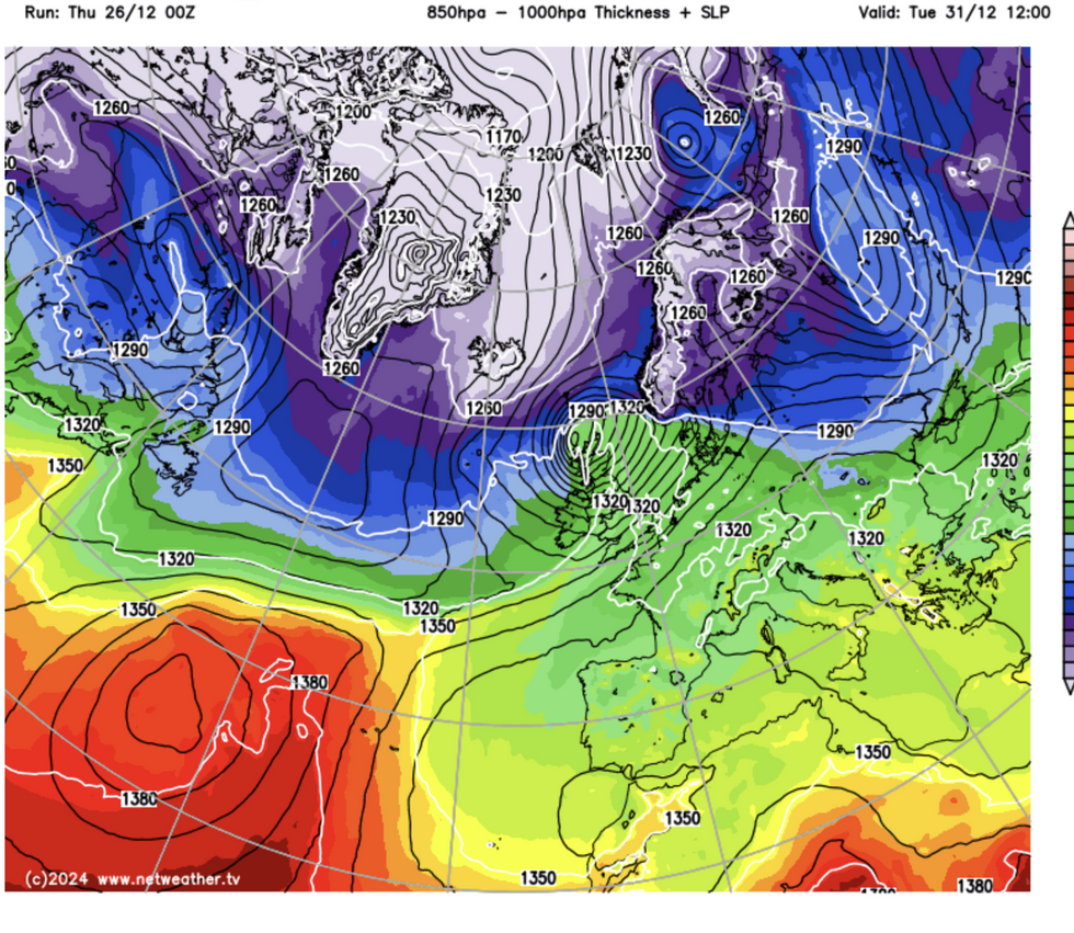
“What causes this is a battle between high and low pressure. If you listen to the weather forecasters, they’re always going to be talking about low pressure when it’s unsettled and high pressure when it’s settled.
“It’s really a tussle between the two of those which determines our weather. As we go into the new year, we’ve got lower pressure coming in from the north.

“Now that means two things. The clue is in the title, the north means cold, but it’s also going to be unsettled.
“So as we go into New Year, certainly in the northwest of Scotland and coming down from the north, it’s going to be unsettled with wind and rain.
LATEST DEVELOPMENTS
- UK weather: Britain braces for snow and icy winds as bitter Arctic blast looms
- Festive travel chaos erupts at key UK airports as fog grounds flights across Britain
- Met Office issues 48hr ‘danger to life’ warning as heavy rain to lash Britain ahead of New Year
“There are some heavy downpours forecast, then it’s going to turn colder with the possibility of some wintry showers from the north as we go into the start of January.”
Britain’s mildest Christmas in eight years is set to give way to colder conditions as we approach the New Year.
The current mild weather, which saw temperatures hit 14.2C in Scotland, will gradually shift as a cyclonic low-pressure system moves between Britain and Greenland.
Jim Dale, meteorologist for British Weather Services, warned: “New Year’s Eve could be problematic, particularly in the north where there is the greatest risk of snow.”

Met Office meteorologist Jonathan Vautrey noted that whilst milder conditions persist for now, a slow drop in temperatures will continue through the next few days.
By Friday, temperatures will be closer to the seasonal average.
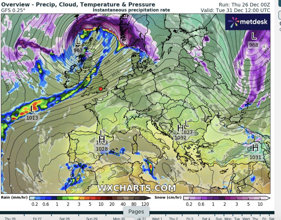
Advanced weather modelling maps indicate snow could fall at a rate of 10cm per hour in parts of the UK in early January.
Data from WXCharts suggests this intense snowfall will primarily affect Scotland and northern parts of England from January 1 to 2.

The forecasts show up to 39cm of snow could settle on the ground around midnight on January 1 in the Highlands.
Parts of northern England could see accumulations of around 20cm.
Further south, the maps indicate regions will face torrential rain rather than snow, as forecaster Stav Danaos notes this will come from “a cold north-northwesterly wind” at the start of 2025.
The Met Office warns that from New Year’s Day, “unsettled conditions, and potentially disruptive wind, rain and snow, could affect more southern parts of the UK.”

