
UK weather: Britain braced for thunderstorms bashing as heavy rains and lightning expected to hit today
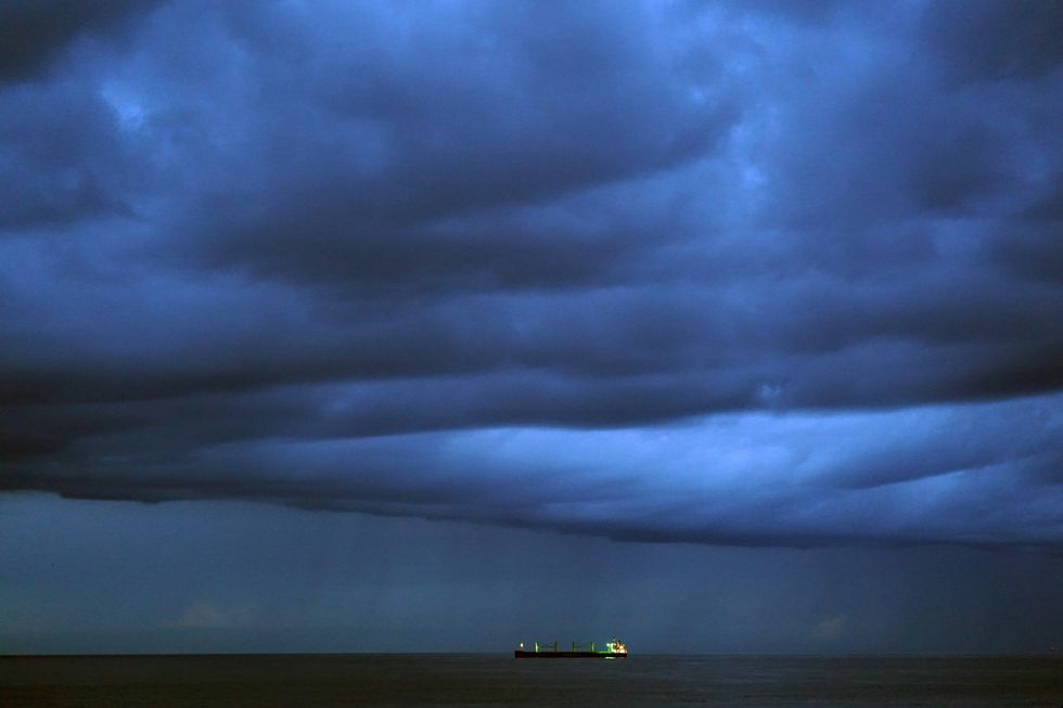
Britain is bracing for a day of severe weather as thunderstorms, heavy rain and lightning are set to batter the country today.
The Met Office has warned of “thunder and hail” with gusty winds expected to accompany the downpours across much of the UK.
A Netweather spokesman explained: “An upper trough will cross west to east across mainland UK through the day, with surface low moving ESE across northern UK.”
The unstable conditions are expected to bring “heavy showers and a few thunderstorms, with hail and gusty winds locally” following the clearance of rain.
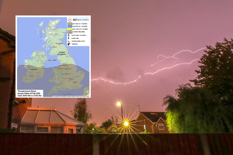
Lightning is most likely to strike across southern Britain where surface heating will be strongest. Heavy rain is expected across the south west of England, moving eastwards throughout the day, with rainfall potentially reaching 3cm per hour in some areas.
The Met Office meteorologist Honor Criswick said Wednesday afternoon would see “plenty of showers on the cards, once again may even bring a sprinkling of snow across parts of the Pennines, some hail, possibly even some thunder”.
Snow is forecast for northern areas including Manchester, Liverpool and Leeds, with North Wales potentially seeing snowfall at a rate of around 3cm per hour. Northern Scotland appears to be the only region spared from today’s deluge of rain or snow.
The occluded front will bring a spell of heavy rain moving eastwards across the country, according to weather experts.
LATEST WEATHER NEWS
- UK weather: Britain to be bashed by westerly winds as Arctic cold U-turns into milder temperatures
- UK weather: Stormy deluge driven into Britain by deadly mega-freeze will ‘swap winter for autumn’
- Met Office issues rare amber warning as Britain to be lashed with 16hrs of rain
WX Charts maps and charts, which uses advanced modelling from Met Desk data, shows rain is expected across London, the east and west from 6am. The Midlands will see rainfall from 9am, with Wales also affected by the deluge.
Temperatures will feel noticeably cooler with more cloud and wet weather moving in. The unstable westerly flow follows as the weather system progresses, with cold mid-levels below -30C at 500 hPa creating steep lapse rates.
The unsettled conditions are expected to continue until at least 3pm today, with frequent showers hitting most of the UK.
The Met Office warned that today will start with “locally heavy rain” before “turning brighter with sunny spells and scattered heavy showers throughout the afternoon”.
Temperatures will remain around average for this time of year, though it will feel breezy.
Clear spells are expected to develop from the west after midnight with lighter winds, turning chilly later.
The outlook for the coming days shows improving conditions, with the Met Office forecasting “drier and sunnier” weather after today’s storms.
Thursday will see brighter conditions with sunny spells, though scattered heavy showers will persist, particularly in western areas.
Friday is expected to be dry for many, with sunny spells and just a few isolated showers.
The weekend will bring patchy rain slowly moving southwards through Saturday, with further rain in the northwest on Sunday.
Overnight frosts are likely to develop where skies remain clear, with temperatures returning to seasonal averages.